Check out our Getting Started guide for an introduction to the sport. Then learn more about the club, what it has to offer, particularly for juniors, and how to become a member. If you still have questions, feel free to contact us.
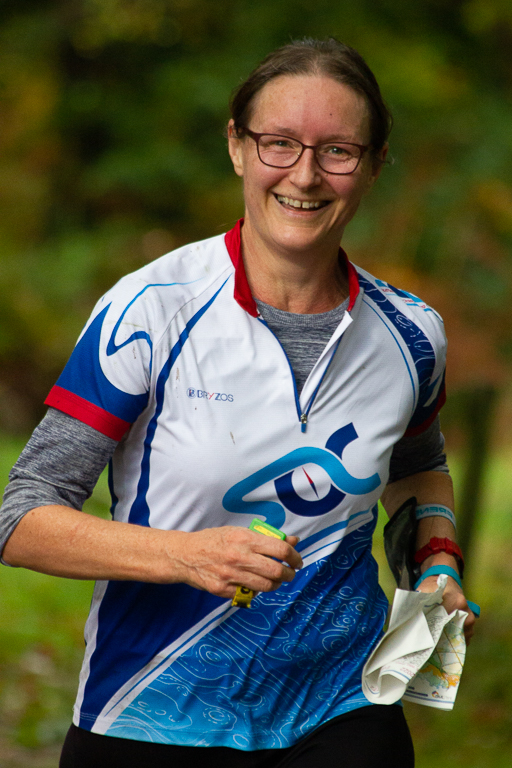
Orienteering Returns to Southampton Common
Something we thought could never happen took place on Saturday 20 June. SOC, in collaboration with the Hawthorns Wildlife Centre, inaugurated the permanent orienteering courses on Southampton Common. So that you understand what an amazing event this was, I must tell you about the history of orienteering on the Common.
[img_assist|nid=238|title=Opening of Permanent Course on Southampton Common|desc=|link=node|align=left|width=359|height=480]
Southampton University Orienteering Club did the survey for the first (b/w) 1:7500 orienteering map of the whole Common in 1975, and Alan Loader did the cartography. A colour version (well, yellow and blue) came out in 1976. This was used by the University PE Department, who had been putting on Wednesday afternoon training events for some time before that,(using an OS-based map at a scale of 1:5280 ! ) John McFadyen, Gerry Barrell and Liz Carnegie were the prime movers. They used ‘unofficial’ markers of orange plastic, and Gerry and Liz introduced many University members, including Lubor, to orienteering at these events.
When it became apparent that with an updated map, the Common could be used for small and informal club events, Lubor and I updated Alan Loader’s map, and spent a lot of time mapping all the small paths winding through the wooded areas. The map was completed in 1991, and Lubor and I used it occasionally for events we put on for local secondary schools to whom we had been teaching orienteering. We were given permission if we called the events not ‘orienteering’ but ‘map-reading exercises’! It was also used twice for SOC events. The first event was planned by Jack and Annette Finch. By this time permission for events on the Common had to be given by the Hawthorns ecologists, who were very antagonistic to the idea of orienteers trampling on wildlife, and we were not allowed to bring even one car onto the Common, or put up a tent. On the second occasion we were given grudging permission if we held the event very early on a Sunday morning, I think between 8 and 10 am. Not surprisingly few people turned up. After that we gave up all hope of using the Common for orienteering. Most of the small paths became overgrown, partly because the management policy was to leave fallen trees where they fell, even if they were blocking paths, partly because the maintenance staff was drastically reduced, and partly because walkers and even dog-walkers were afraid to penetrate into woodland, and children were discouraged from running round the small paths, as they did when our children were small.
The irony of this situation is that Lubor, before the Hawthorns existed, and when he was secretary of the Commons and Parks Protection Society, felt that the Common was not being managed in an ecologically sensitive way. He set up the Ecology Advisory Group, which consisted of representatives from the City Council and experts from the University, and its function was to advise the Parks Superintendent (then under the City Engineer) on ecological matters. One of its first actions was to persuade the mowing team to leave certain areas uncut until the orchids had flowered and set seed. Lubor was the Hon. Secretary of this group during the 8 years of its existence. After that, its function was taken over by the Hawthorns Urban Wildlife Centre, which had just come into being in its new quarters on the former Zoo site in 1992.
This happened just after our 1991 map was completed, and the Hawthorns team, (which included an ecologist who thought that Common users should keep to tarmac paths instead of running all over the Common!), now became responsible for giving permission for events. As it had set its face against the whole idea of orienteering, the map was hardly used.
[img_assist|nid=237|title=Jean and John Dyer-Slade|desc=|link=node|align=right|width=473|height=480]
So what caused the change of heart? The Green Flag Award for Commons and Open Spaces is given if various criteria are met. One is to make the Common a more welcoming place. Another is to improve community involvement. The Hawthorns has promoted an Active Southampton map showing two‘ Activity routes’ on Common paths, and as part of the anti-obesity campaign is committed to the idea of the Common as a place for taking exercise. So a permanent orienteering course was something which fitted in with their current thinking. They realised that orienteering can take place without damaging wildlife and is an activity which they are happy to promote, provided certain sensitive areas are marked as ‘out of bounds’. David Nixon and Colin Hicks conducted delicate negotiations with the Hawthorns, Gill Thomlinson and I and simplified and updated the 1991 map and planned the courses, and the miracle came about.
Article by Jean Velecky
- Log in to post comments